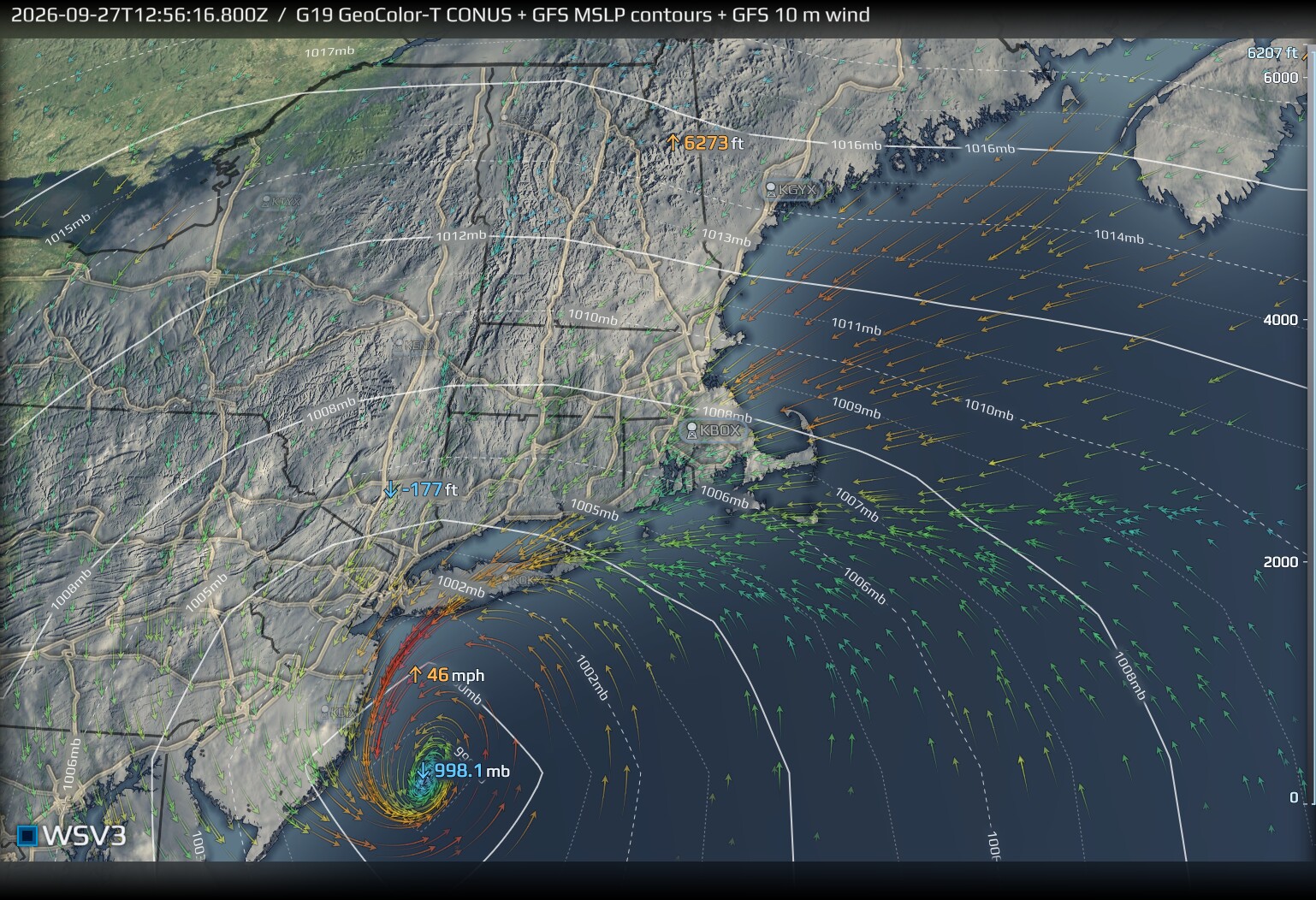
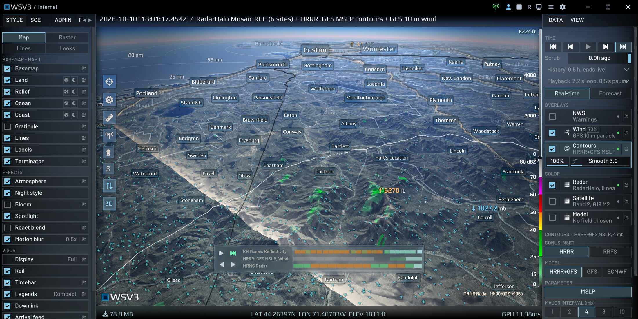
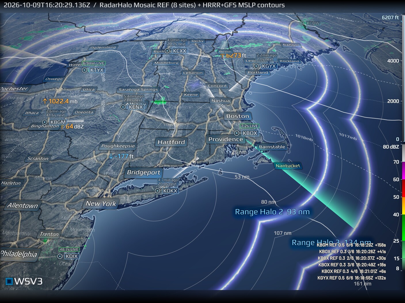
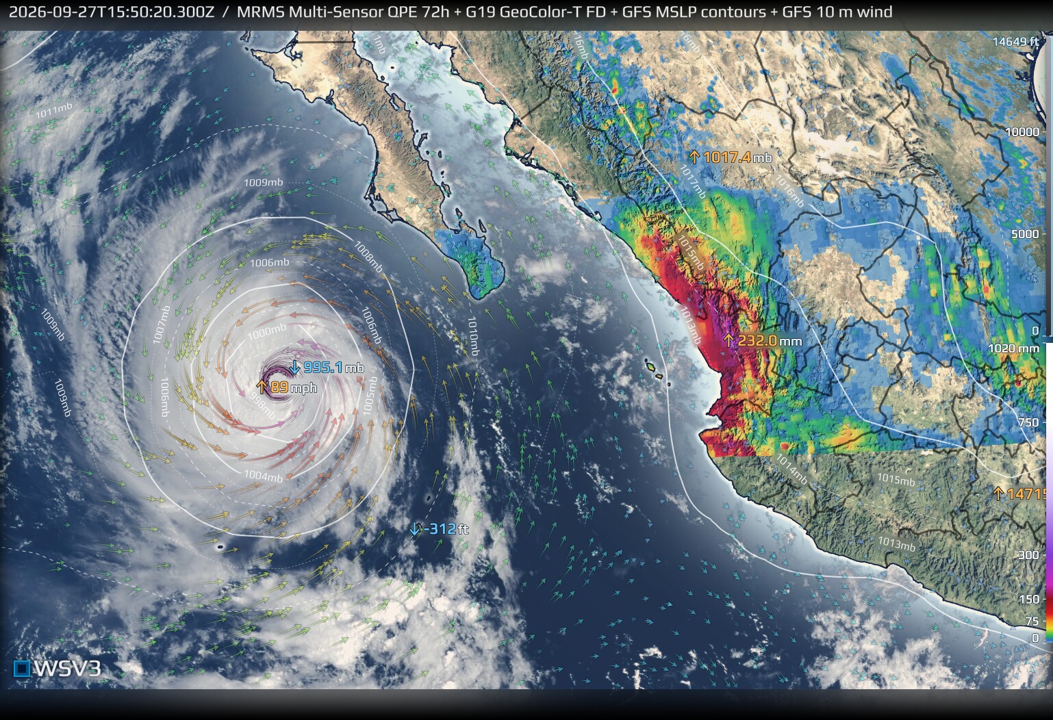
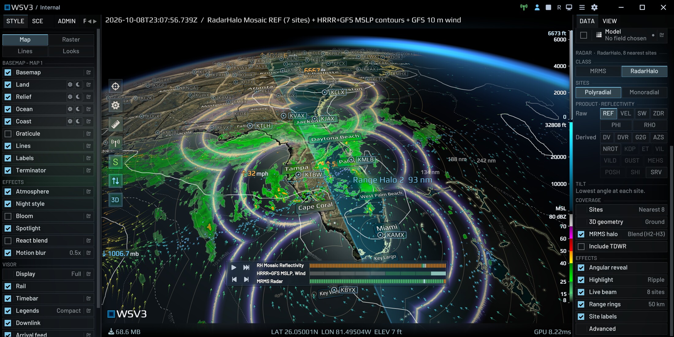
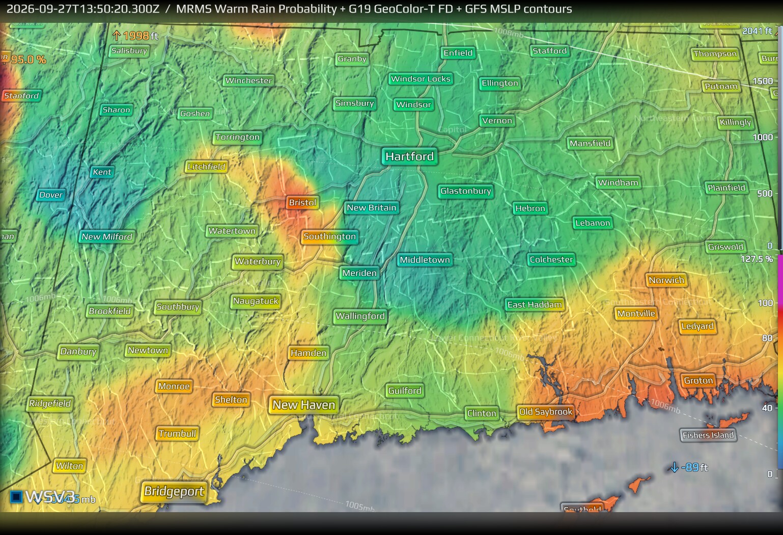
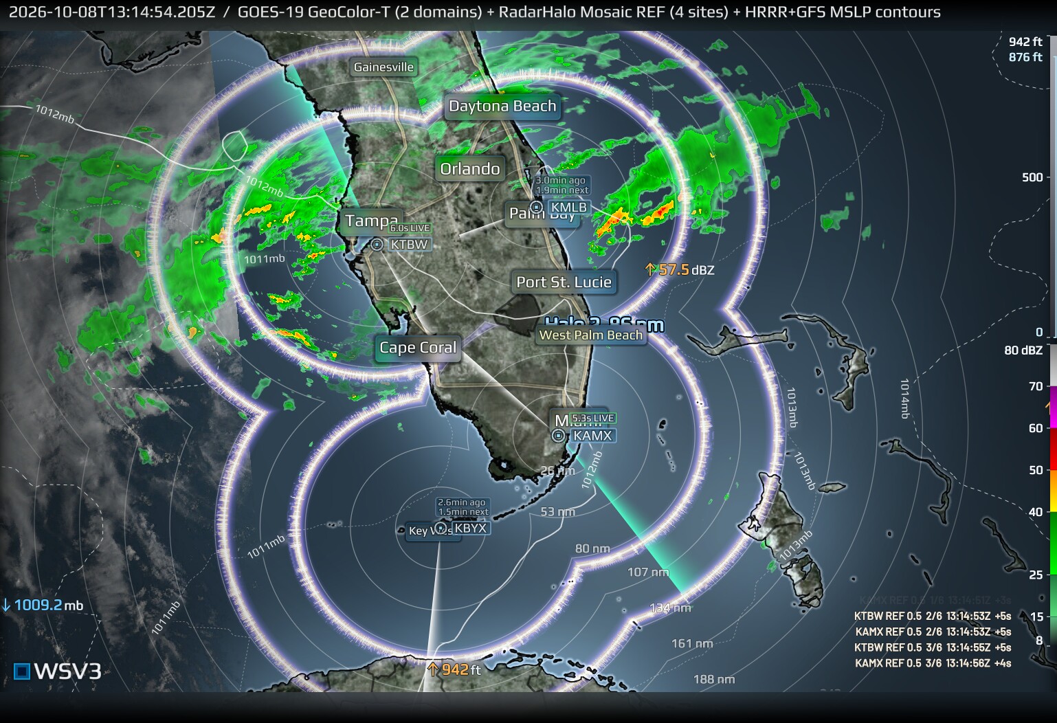
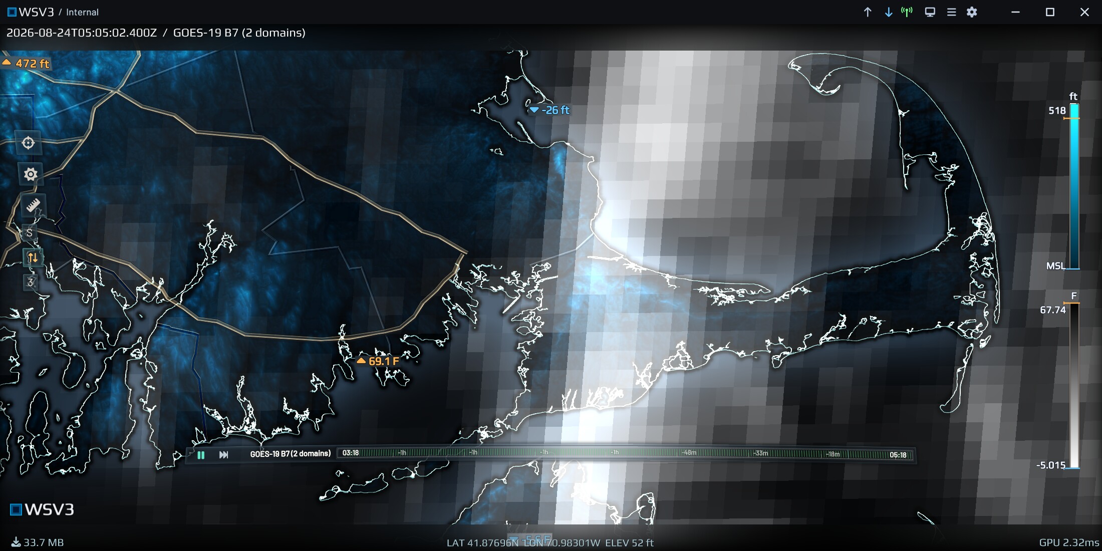
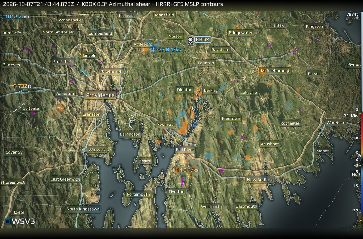
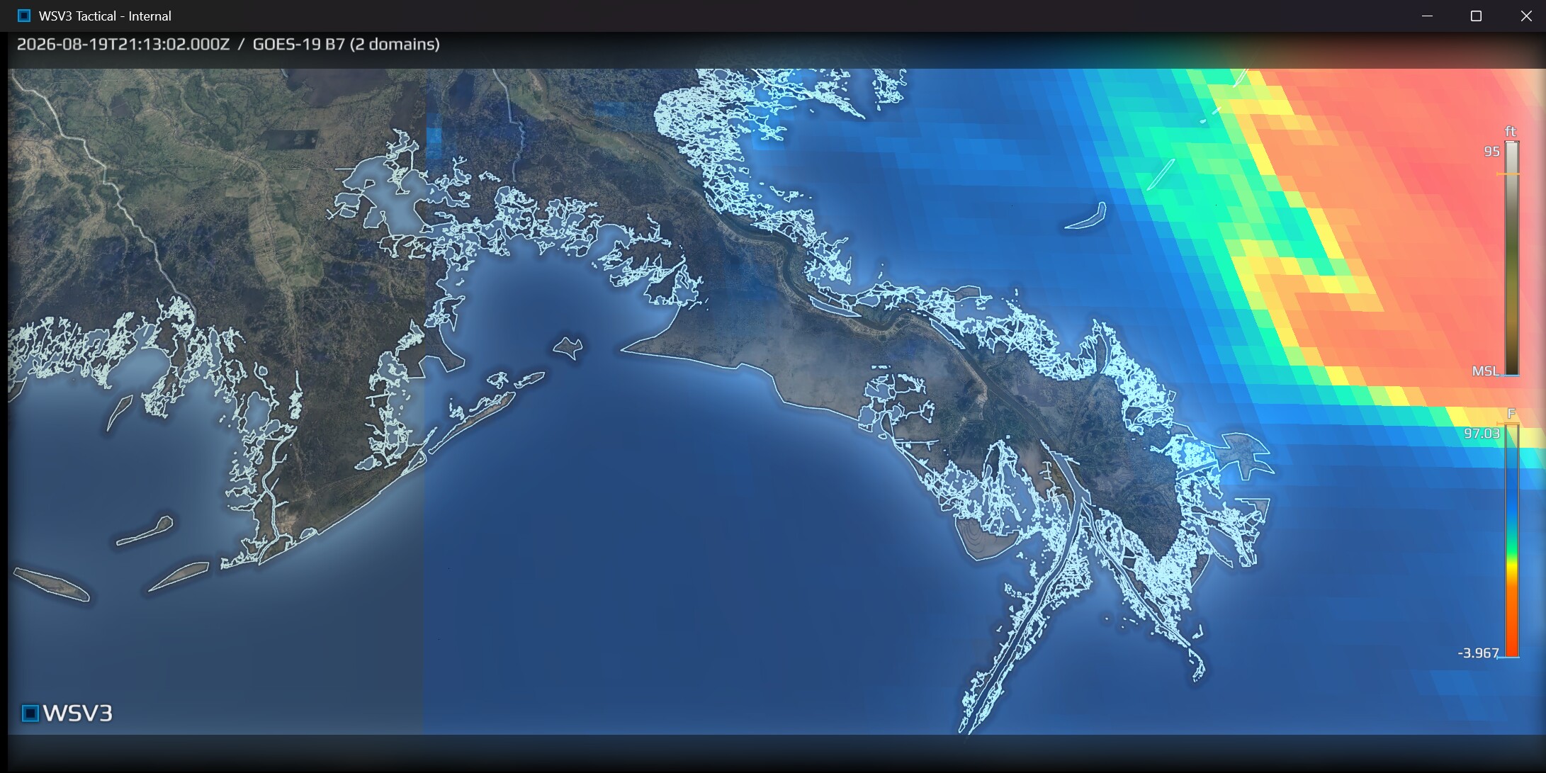
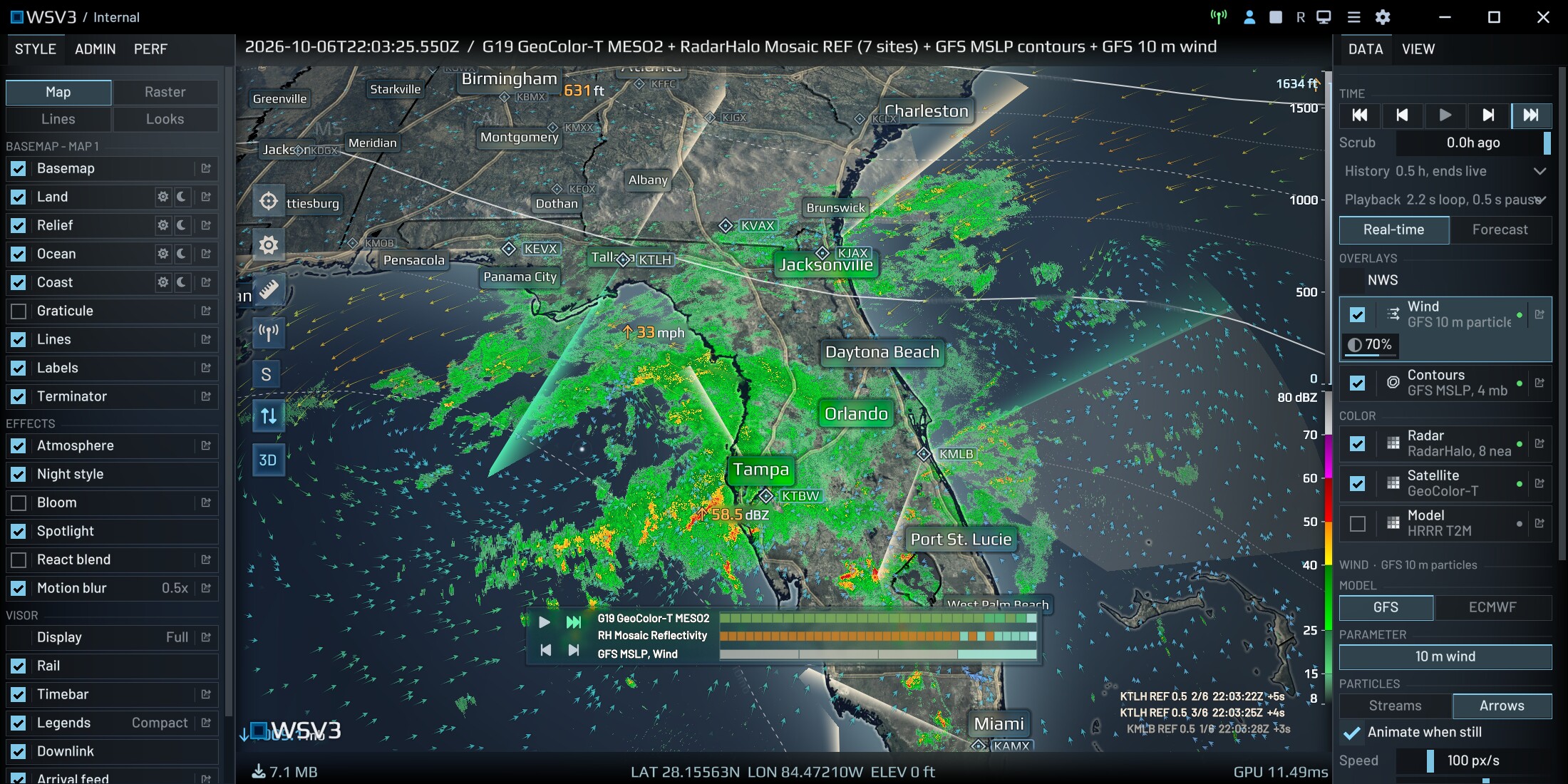
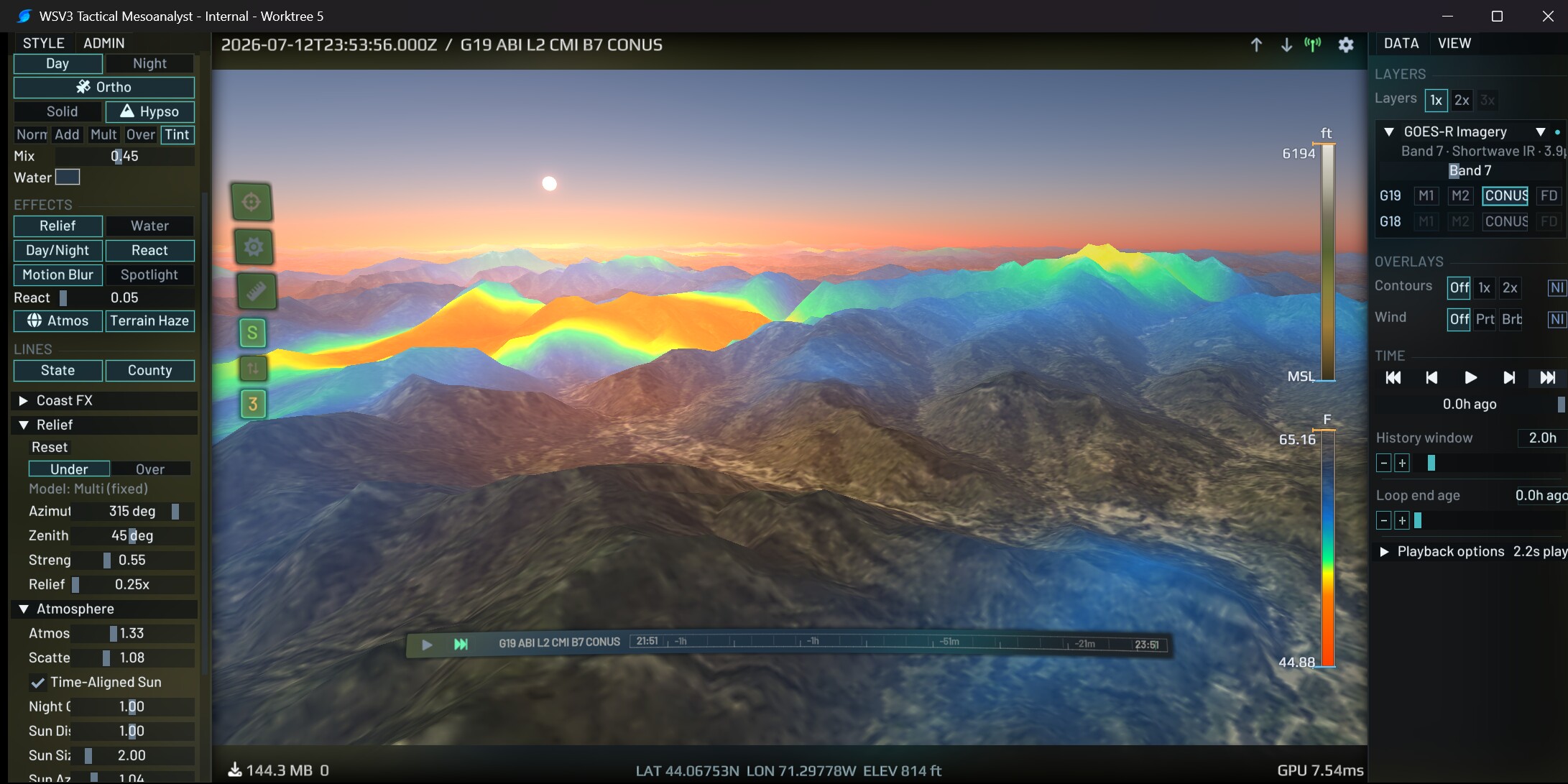
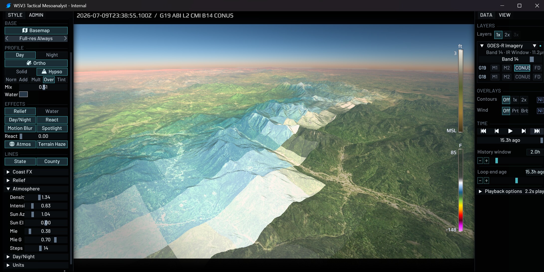
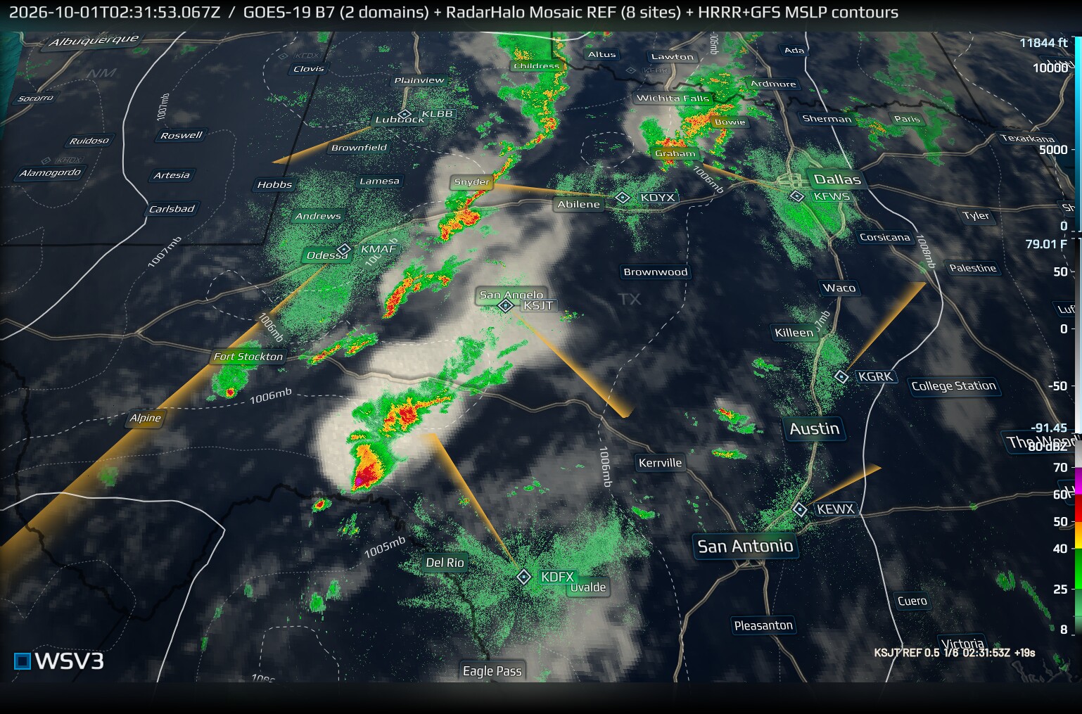
Next-gen WSV3 comprises two flagship client executables: WSV3 Studio and WSV3 Tactical. Paid realtime data subscriptions work in both, with no additional purchase needed to access WSV3 Studio. Studio is built on the same WSV3 Tactical 2027 engine and assumes the distinct operator purpose of graphics production/show creation/presentation for others, whereas Tactical assumes operator purpose of optimal fast-paced mission-critical human mesoanalyst situational awareness under strictest constraints of power use, mobile LTE bandwidth, and human attention factors. Studio is presently differentiated from Tactical only in defaults but is anticipated to gain rich show creation capabilities and more resource-intensive graphical modes for users running on discrete GPUs. Such optional modes cannot ever be allowed to bloat or pessimize Tactical's obsession with performance on commodity iGPU laptops, necessitating the separate executables as a feature of design purity. Both viewer applications produce studio-grade HD 60/120fps interactive output on commodity iGPU PCs through cutting-edge realtime rendering techniques normally found in AAA game engines, accelerating framerates and reducing wasteful overhead inherent to web-based displays or even traditional cartographic fixed-function forward GPU pipelines.
Under development since late 2023, the WSV3 Tactical 2027 engine is a rejection of software bloat, object oriented programming, and inefficient dynamism, in favor of data oriented design, compulsive Puritan resource frugality, and hardware-first self-reliance. It depends only on guaranteed minimal-install Windows 10/11 Win32 native libraries and has zero language runtime usage or dependencies. Its bare-metal purism attains what we believe to be the fastest performing cold launch of any comparable self-launching installerless Win32 graphics application in history, often cold-launching in under 4 seconds from initial EXE run and warm-launching thereafter in under 800ms on commodity Win10 iGPU laptops with even suboptimal double-digit Mbps connections. WSV3 2027 bypasses or entirely omits numerous gratuitous ceremonies of commonplace traditional desktop software, instead providing intentionally engineered first-principles design solutions to maximally optimize for the human visual mesoanalyst user purpose. Such rejected ceremonies include usage of installers, object-oriented programming languages, text-based state/content files, or scripting languages running mission-critical server logic. The entire combined next-gen client-server realtime system is written in C, with some Assembly, and employs not one single scripting language anywhere in the whole server-ingest to client-graphics pipeline.
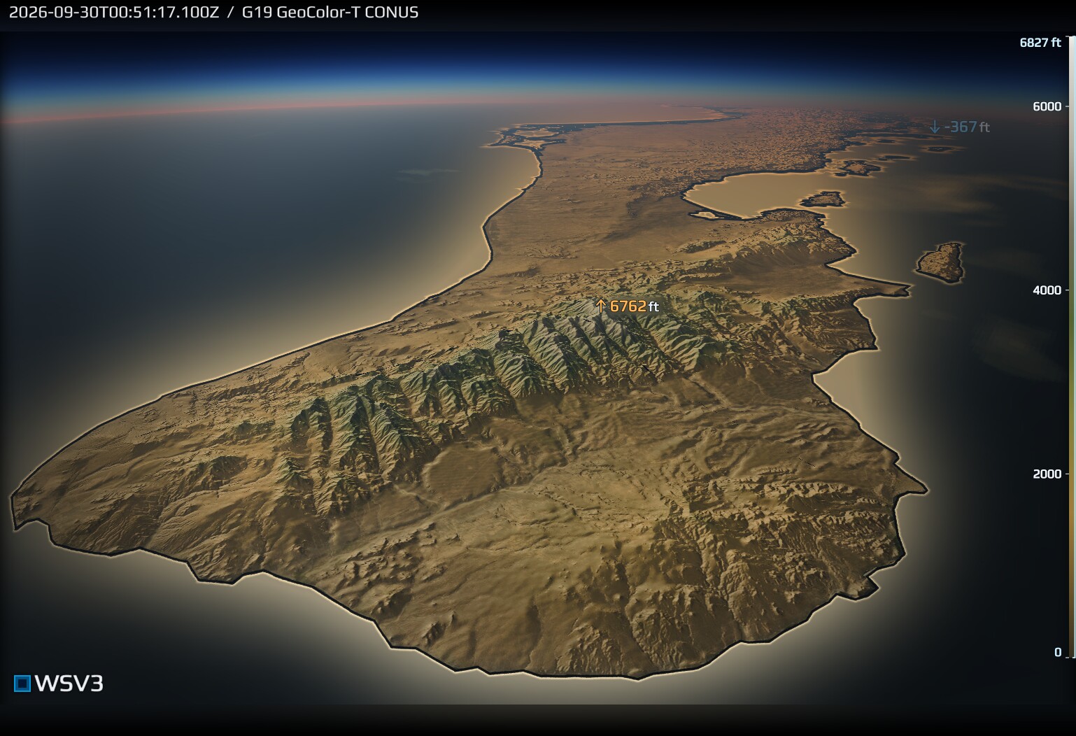
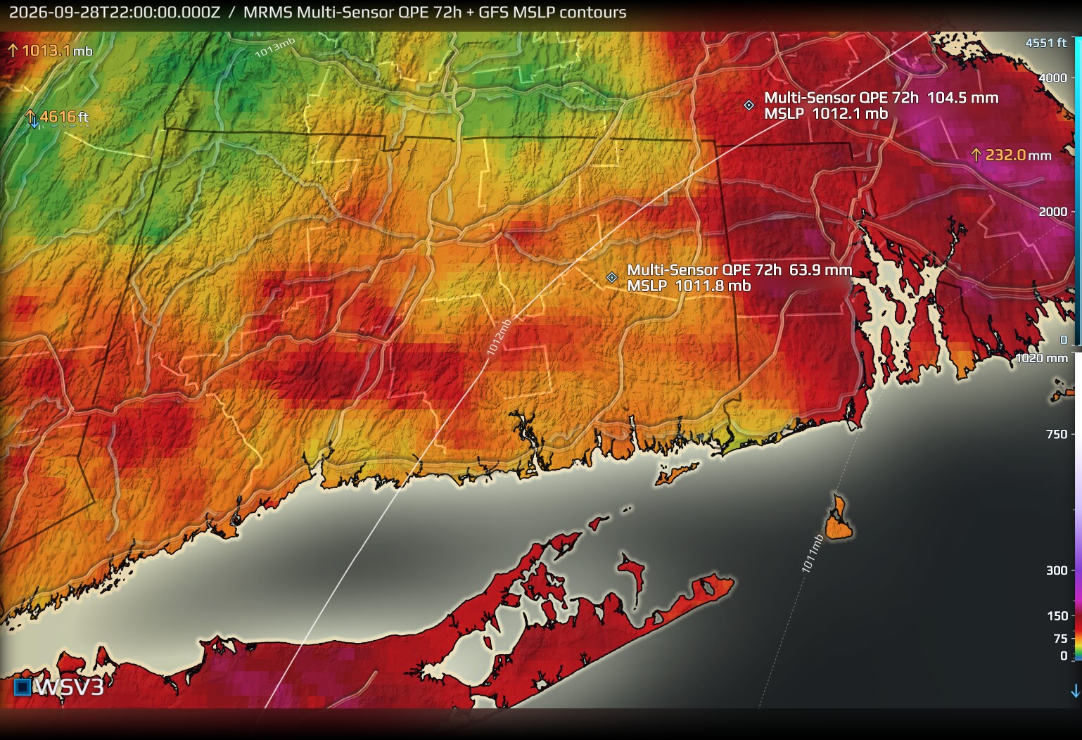
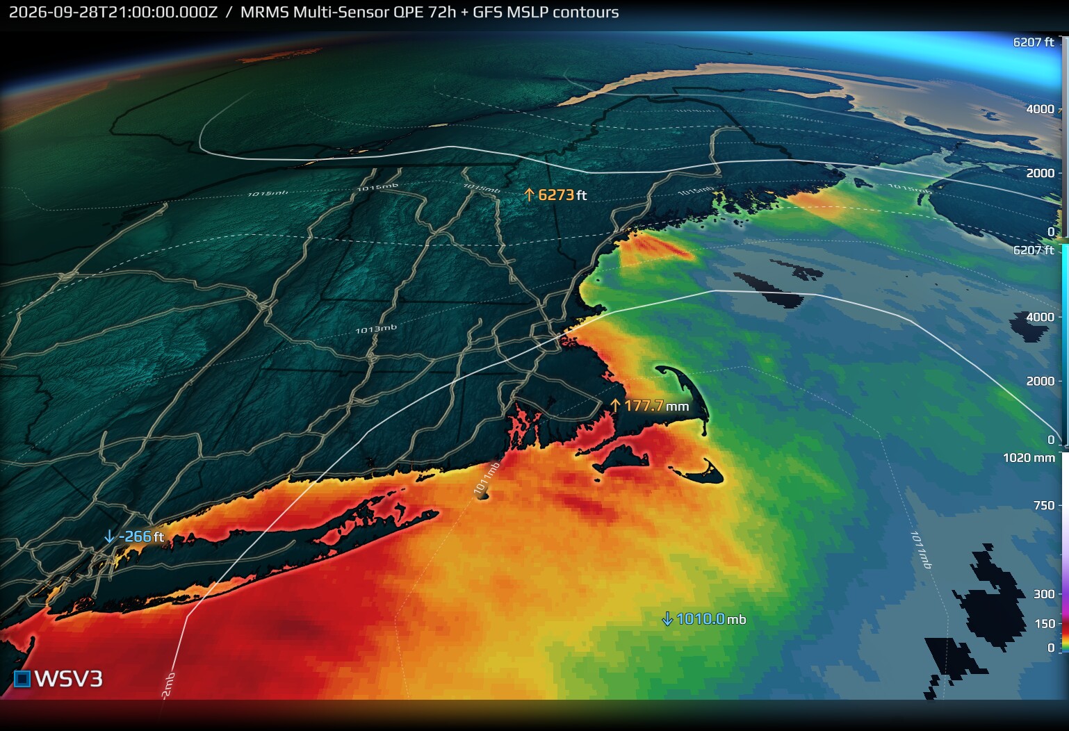
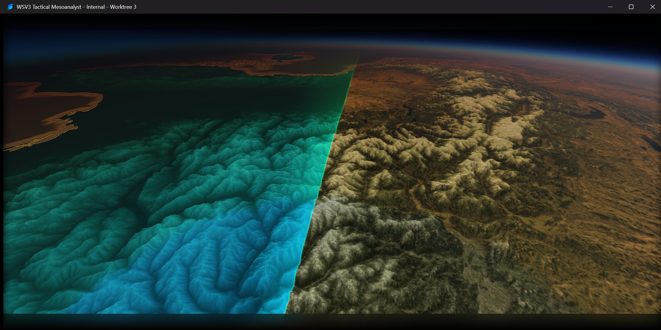
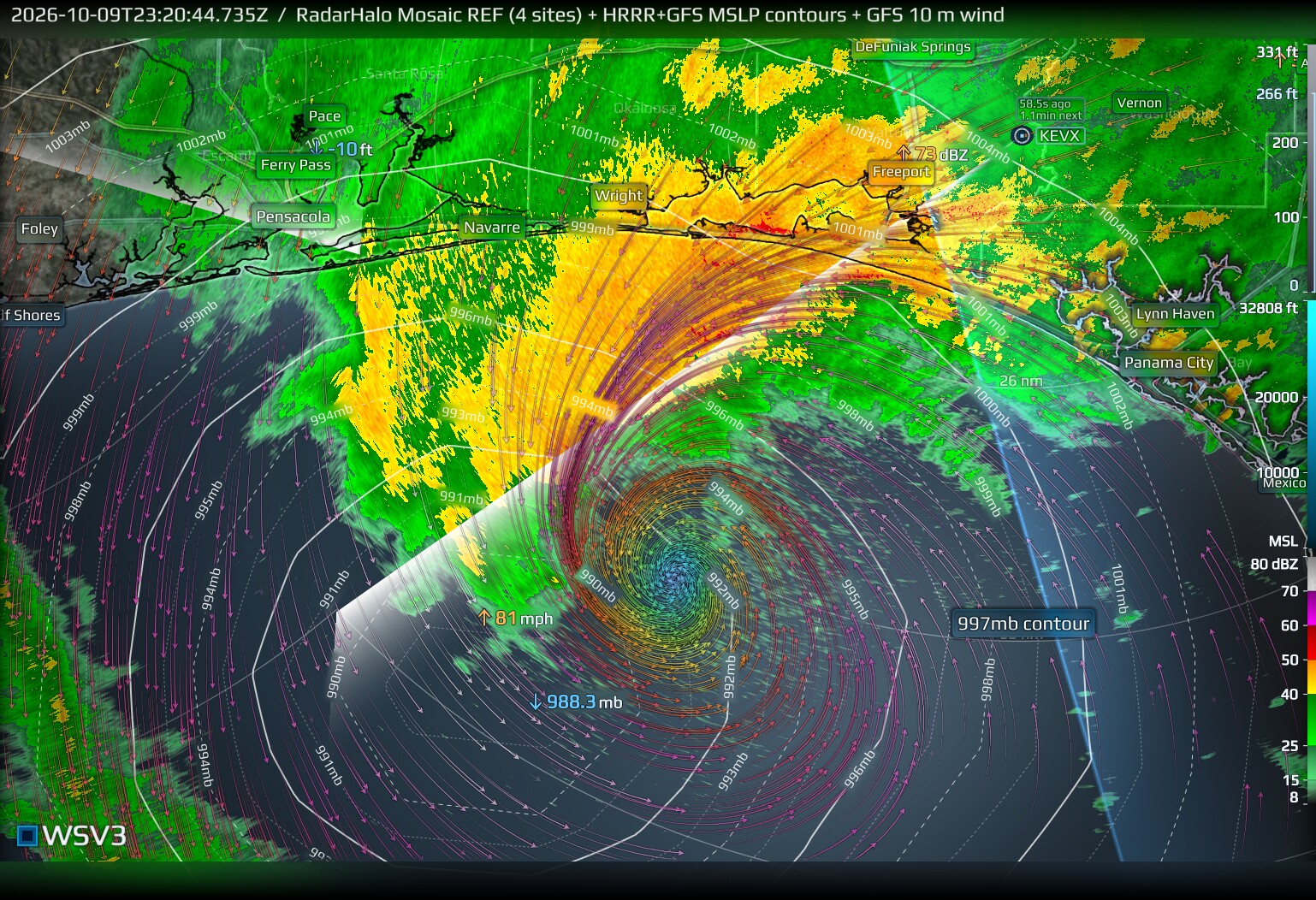
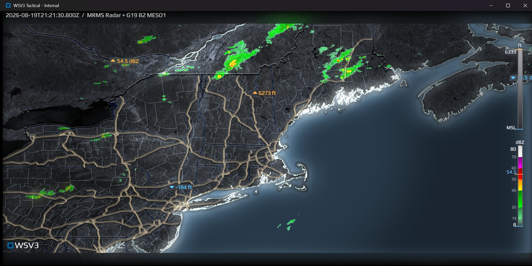
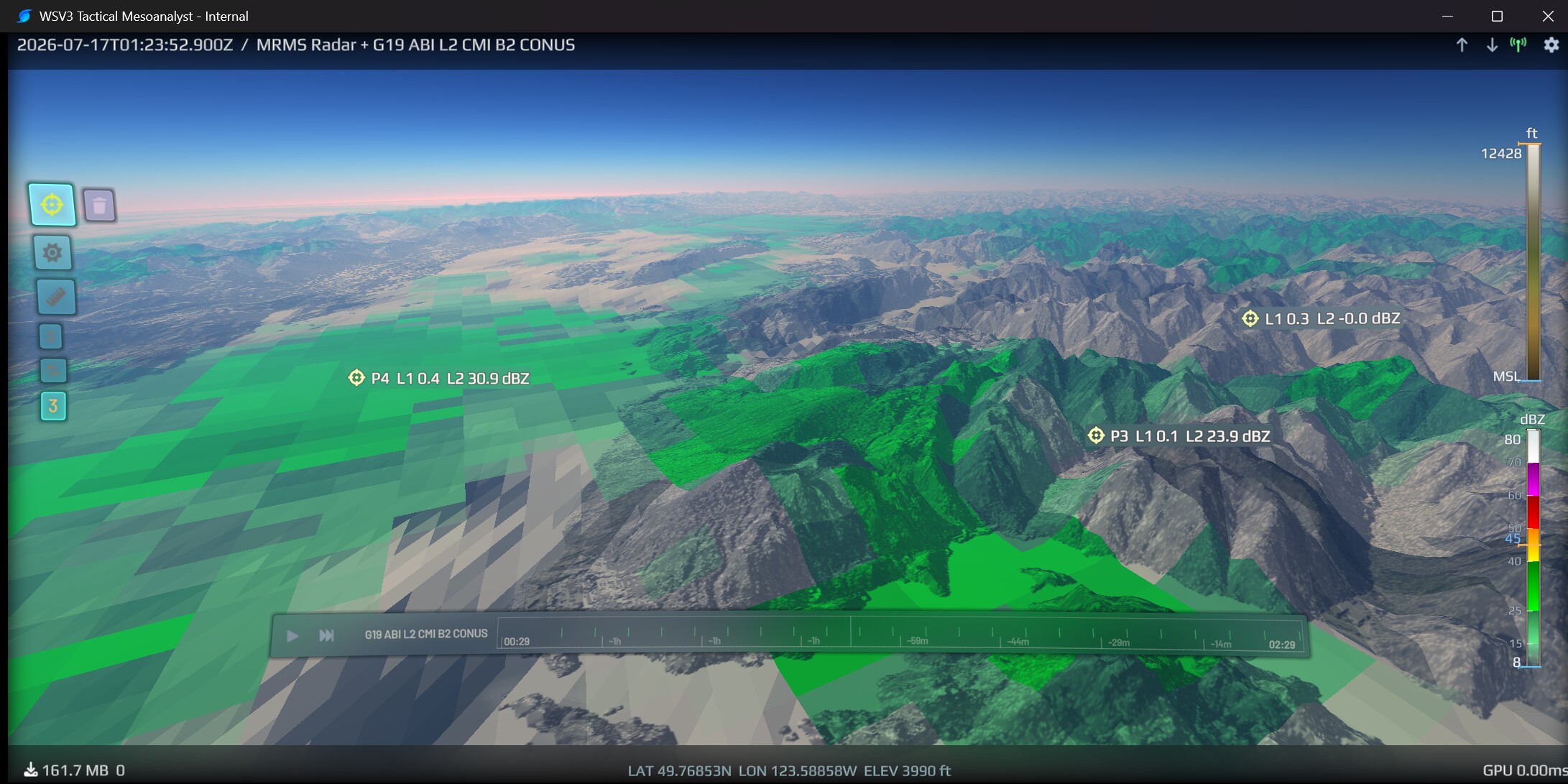
WSV3 2027's realtime GPU mapping engine is entirely native. It does not rely on web-based mapping services such as Mapbox or Google Maps, unlike many consumer-oriented commodity weather apps. Its 3D terrain engine renders true-to-height ground-projected vector polylines to 3D terrain surface. Polyline rendering in WSV3 2027 employs several unique, industry exclusive shading techniques to reduce visual occlusion overhead and increase informational density without "cluttering" the underlying display of meteorological raster data, when compared to traditional simplistic alpha blend compositing at equal levels of operator psychovisual spatial cognition, where road network/political boundary polylines are necessary for spatial reference yet inhibitory to perception of occluded raster values. WSV3 Tactical 2027 engine specifically optimizes such visual, cartographic aspects to produce maps that convey the highest degree of actionable meteorological awareness and spatial perception at the smallest map sizes/pixel dimensions. The application can be resized to very small window dimensions to activate a miniaturized display mode with decluttered UI, for usage in always-on-top overlay workflows.
New server architecture monitors connected clients' live selection of in-view streams to push instantaneous new frame notifications over Websocket, achieving industry-leading rapidity of new data refresh and eliminating all client-side polling. In-house VM-supporting floating licensing operates over the same persistent Websocket connection to deliver seamless instantaneous cross-device usage, with single-touch cross-device settings/customization synchronization and instant, automatic seat reclamation of any left-open-elsewhere instances.
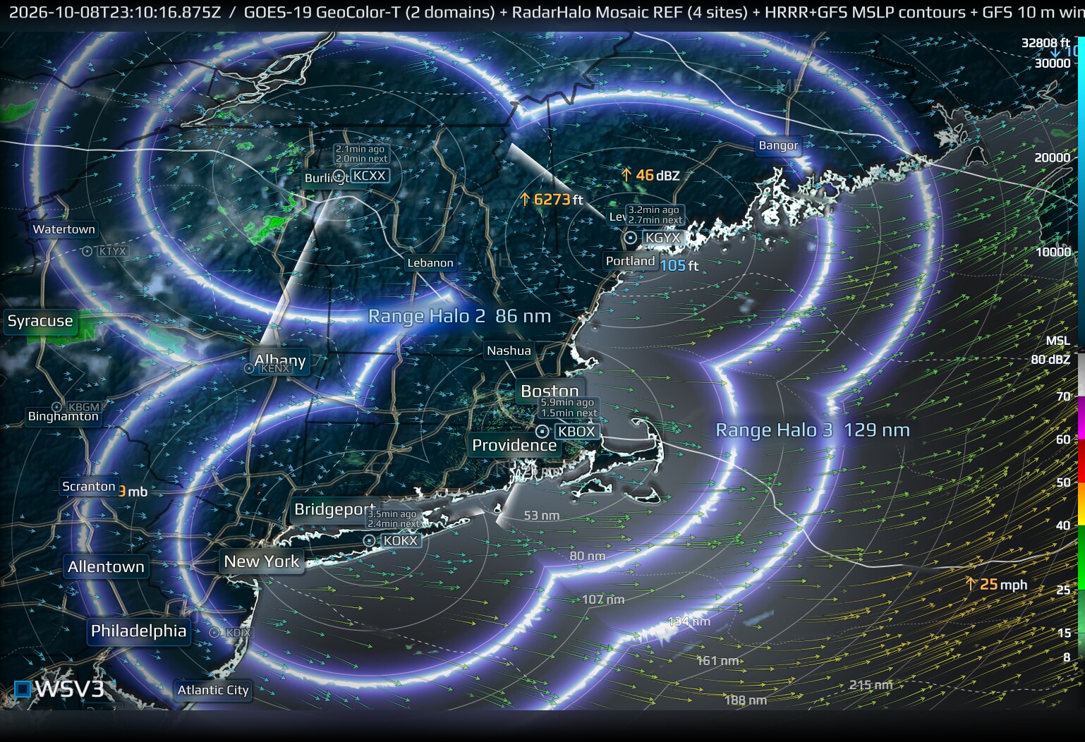
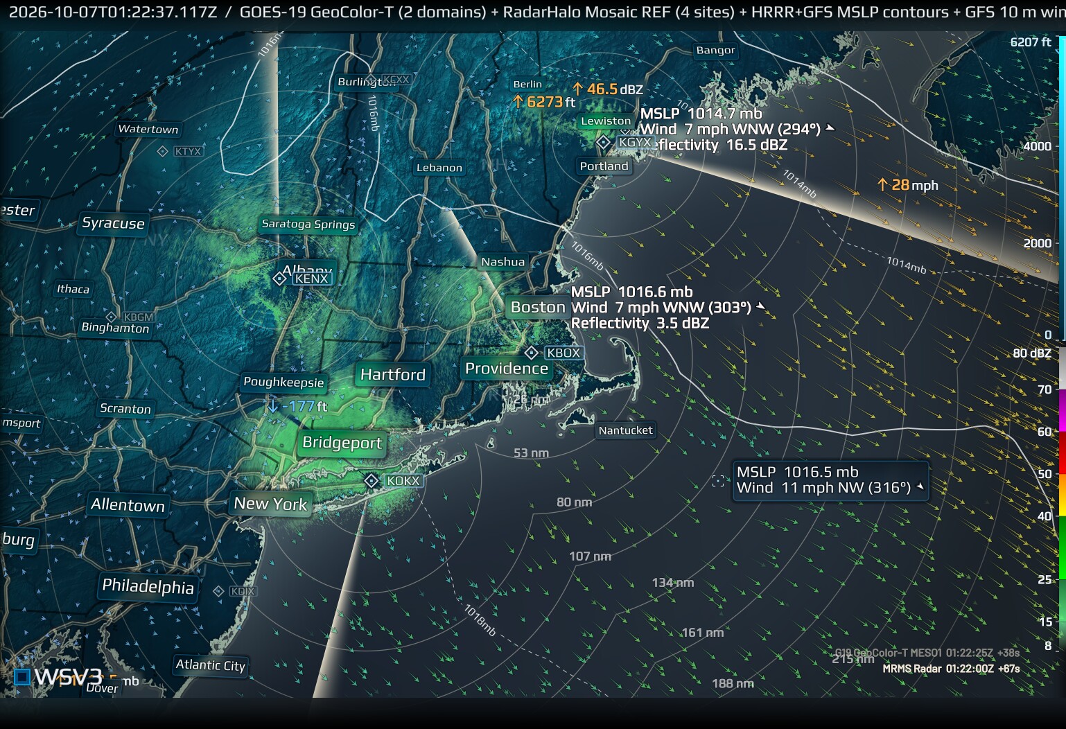
Concurrent multidomain rendering support in next-gen WSV3's dataset-native-projection timeseries raster engine places WSV3 Tactical and WSV3 Studio next-gen applications into a class of their own among the already scarce list of native desktop GPU-based weather data display applications. Up to 8x concurrent same-parameter domains render together in each map with seamless per-pixel GPU fusion in overlapping regions, where winner domains are selected per-pixel based on spatial resolution in realtime, as opposed to naive overlapping. The latter produces visual alpha blending artifacts and incurs overdraw-related rendering penalty. We are not aware of the existence of this per-pixel spatial winner GPU fusion technique currently in any other realtime weather graphics application, including industrial television broadcast systems. This revolutionizes GOES-R imagery composition over large areas, such as in the common case of GOES-18 CONUS + GOES-19 CONUS domain realtime fusion, since display always retains original dataset-native cartographic projection with no resampling, avoiding all such precision loss inherent to traditional resampled satellite imagery mosaics. This enables optimal spatial resolution over the western United States while retaining seamless national coverage in GOES-R imagery scenes between the two domains, with seamless coverage from east Atlantic to deep Pacific.
WSV3 2027's signature up-to-8x multimap ability disproportionately multiplies the overall informational value and economic per-pixel rendering efficiency of the product, as map downscaling induces greater proportional reduction in rendering/power overhead than in perceptive informational loss to the human mesoanalyst operator. Users can instantly switch between 1, 2, 4, and 8 concurrent multiple map display modes, each map supporting distinct camera views. This capability will soon extend to support for full inter-map diversity of dataset selection, timeline state, and map styling in future updates, as opposed to mere camera view diversity.